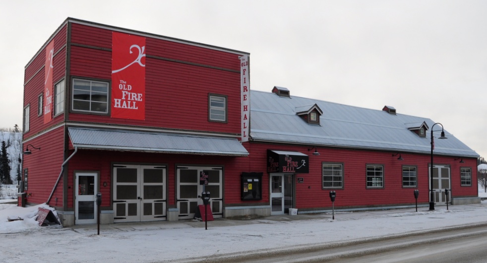
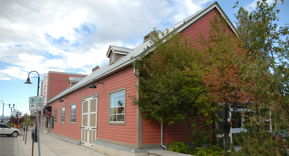
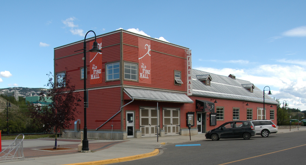
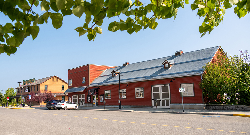
Old Firehall
Old Firehall
Old Firehall
Old Firehall
Old Firehall
Description of Boundaries
Description of Boundaries
A 10m buffer of land on the north and east sides, a 5.5m buffer on the south side and a 1.5m buffer of land on the west side of the footprint of the building on Lot 4, Block 310, Plan 91-55